Elevating industry standards through cutting-edge drone technology and aerial solutions.
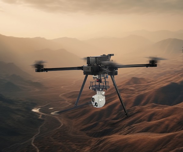
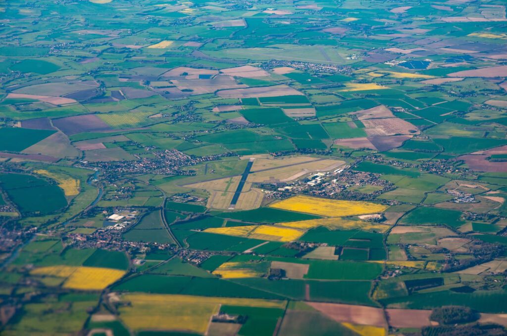
High Altitude Missions: 5000+ meters AMSL
Meeting the challenges of high-altitude missions, we have expanded the reach of cargo deliveries and surveillance capabilities beyond 5000 meters AMSL. Our drones are built to reach new heights, transporting essential supplies to remote locations with ease. We have achieved altitudes of 5000+ meters AMSL for improved situational awareness and enhanced security by capturing real-time data.
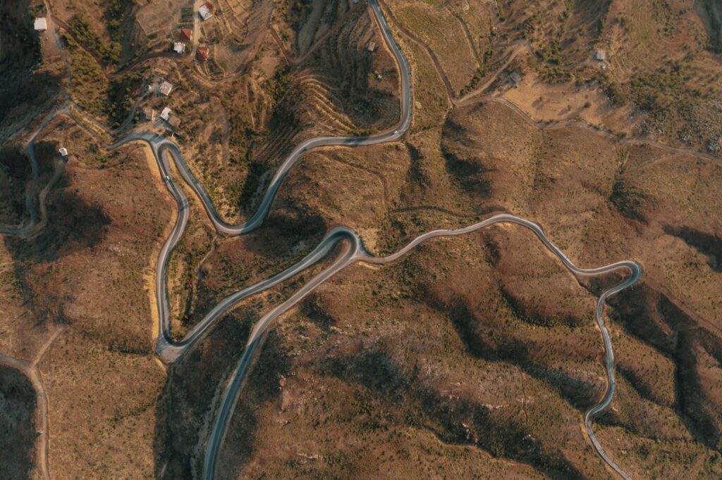
LiDAR Mapping
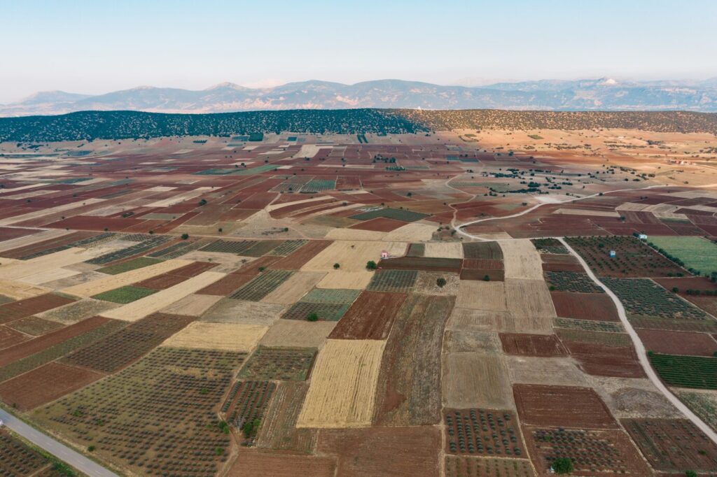
Our LiDAR solutions provide precise data for mapping, environmental monitoring, and a range of applications. By utilizing LiDAR sensors, we generate accurate data crucial for decision-making, border roads planning and terrain modelling. The technology elevates precision mapping and data-driven insights, empowering informed decisionmaking.
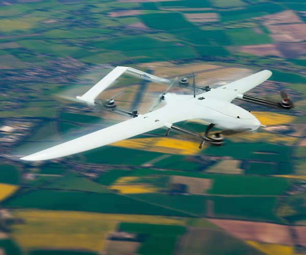
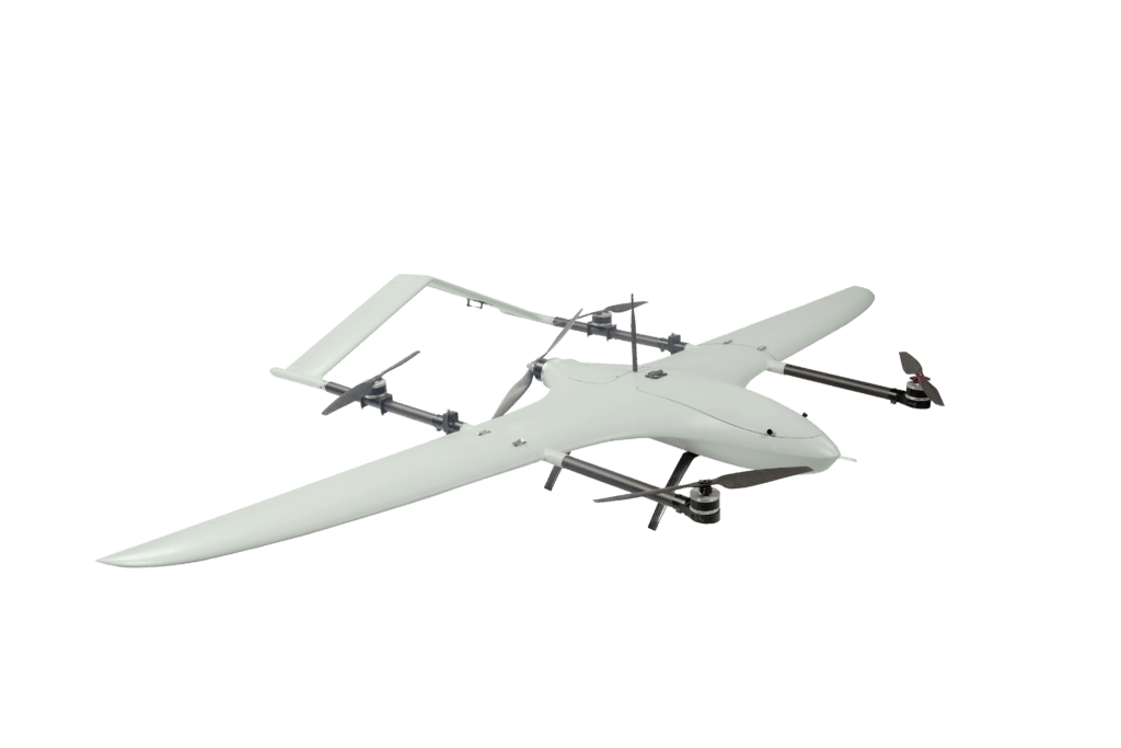
Long Endurance Platforms
With longer endurance, our drones are proficient in a range of tasks constrained by time like BVLOS applications, aerial surveys, High altitude patrols, coastal operations, forestry applications, and industrial inspections. These platforms are designed to stay airborne for extended periods, which covers vast areas, collects substantial data, and maximizes productivity. Additionally, these platforms cut down on frequent battery replacements, reducing downtime and enabling more extensive data collection in a single flight.
AI based target detection and recognitions
The AI-driven technology ensures the precise identification and categorization of objects within a drone’s environment. This empowers our drones to autonomously recognize and respond to objects and targets with remarkable accuracy. In crime scene investigations, the AIengine designed by RFLY can autonomously identify, track and report the law enforcement with actionable insights for informed decision- making and response. During rescue missions, the drones can quickly identify and respond to individuals in distress, which is a life-saving feature. This technology increases the operational efficiency and the ability of drones to rapidly respond to changing situations.
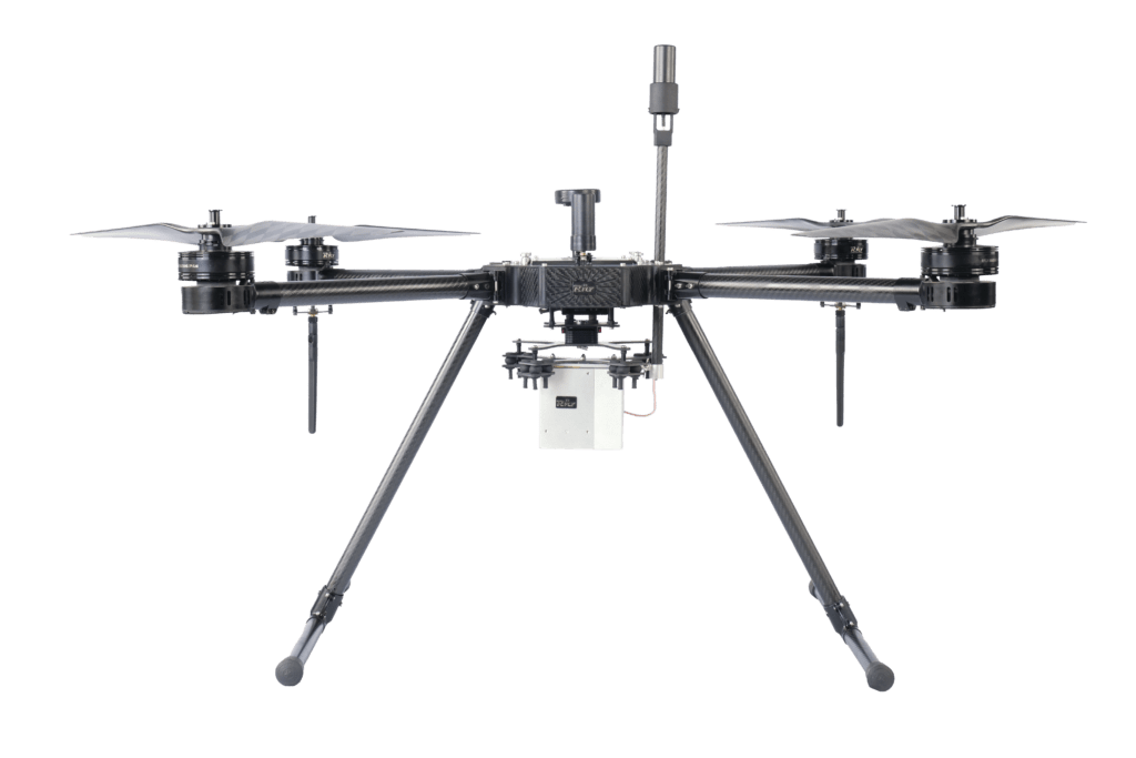
Tether platforms with ceiling height up to 200 meters
Our tether platforms offer an extended reach up to 200 meters enabling thorough monitoring and essential data collection for public safety and emergency response purposes. During fire emergencies, RFLY’s tether platforms offers invaluable aerial support to the fire departments, providing an elevated view of the situation. In critical military operations, our tether drone technology with its extended reach provides a clear and unobstructed view. This aerial perspective provides real-time data and invaluable insights to military units, helping them make well-informed decisions. These extended flight capabilities make them an excellent choice for missions requiring prolonged flight times, such as surveillance, monitoring, and various defence operations.
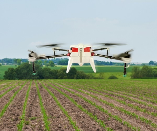
Smart Agriculture
Our concept “smart agriculture” is tailored for precision farming, delivering data-driven insights that optimize crop health and resource usage, which boosts yield and efficiency. Our RFLY Agriculture Drones capture pictures with a multispectral sensor, which are then processed to create precise maps and orthographic mosaics. For quicker responses, higher yields, and more operational efficiency, this data is essential. Our drones enable us to control agricultural operations for increased efficiency and sustainability in the areas of precision irrigation, pest control, and yield optimization.
Moving platforms Take-off & Landing
RFLY technology for moving vessel take-off and landing provides airborne capability to operate UAVs for coastal applications. The RFLY solution enhances the airborne fleet to perform the most critical and complex missions with a high degree of safety and reliability. The UAV platforms are custom-designed for handling harsh wind and weather conditions, which expands airborne capabilities beyond which wasn’t previously attainable.
Kinetic Strike
Our kinetic strike drones, referred to as loitering munitions are designed for precise striking capabilities. They have the ability to loiter or remain in a designated area for extended period, providing persistent surveillance and the flexibility to strike targets when needed. Equipped with advanced sensors and targeting systems, our drones can autonomously identify and track specific targets in real-time. Their loitering capability and rapid deployment make them suitable for time-critical operations, such as countering enemy artillery or neutralizing threats.